
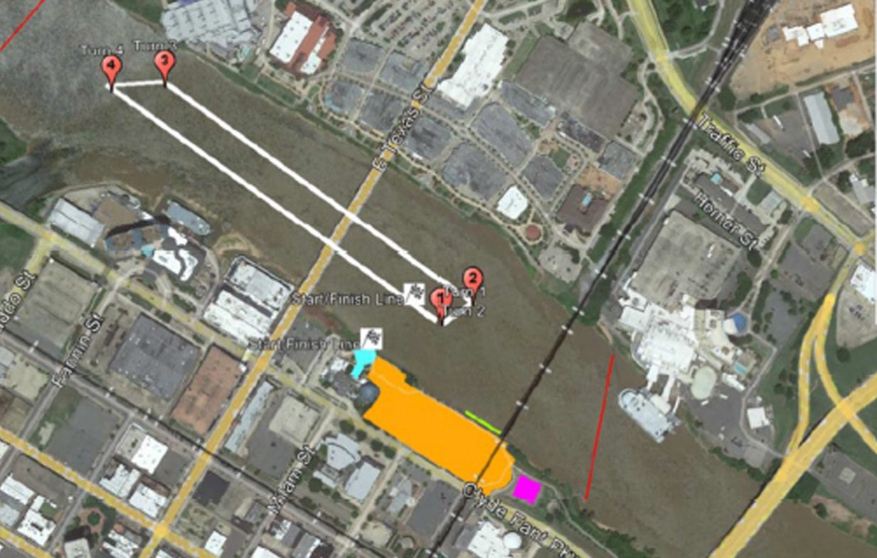
An aerial/satellite view of the full race course on the Red River. A white line traces the oval course route, connecting four red pin markers labeled Turn 1, Turn 2 (clustered together in the south-center), Turn 3, and Turn 4 (clustered together in the upper-left/north). Two checkered flag icons mark the Start/Finish Line in the mid-river area. A large orange rectangle on the west bank represents the Free General Viewing Area. A red diagonal line on the right side of the river indicates the Safety Zone. A small magenta square and a teal arrow are also visible near the southern end of the course. Streets visible include Milam St., Fannin St., E. Texas St., Traffic St., and Clyde Fant Pkwy.